Trail Walking Le Falgoux - Franconèche- Gr400-chemin des Italiens bis - Photo

Franconèche- Gr400-chemin des Italiens bis

© OpenStreetMap contributors
Length
Length
18.8 km
Max alt
Max alt
1552 m
Uphill gradient
Uphill gradient
687 m
Km-Effort
Km-Effort  
28 km
Min alt
Min alt
936 m
Downhill gradient
Downhill gradient
686 m
Boucle
Boucle
Yes
Creation date :
2024-07-19 06:29:57.412
Updated on :
2024-07-19 13:19:05.682

(1 Reviews)

Walking
Walking
6h46
Difficulty : Very difficult

Scan this QR Code to open this trail in the SityTrail application

FREE GPS app for hiking

Logo SityTrail SityTrail

IGN / Geographical institutes

Download SityTrail from the App Store Download SityTrail from Google Play

Logo SityTrail SityTrail World

The world is yours!

Download SityTrail from the App Store Download SityTrail from Google Play Download SityTrail on Huawei AppGallery

About

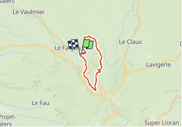
Trail Walking of 18.8 km to be discovered at Auvergne-Rhône-Alpes, Cantal, Le Falgoux. This trail is proposed by Jean Yves Erard.

Description

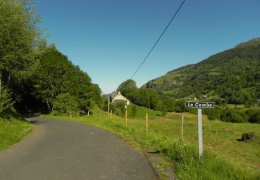
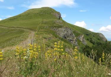
début sous la pluie. belle montée  jusqu' au Luchard sous le soleil
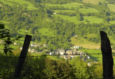
redescente par les sous- bois du bois Mary ( chemin des italiens)
on finit en suivant le Mars depuis le pont des eaux

Elevation profile

Photos

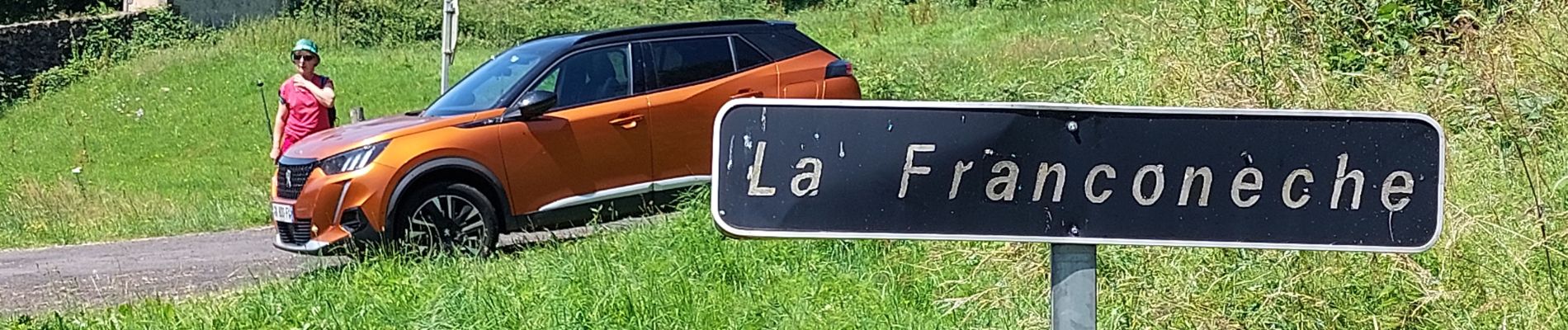
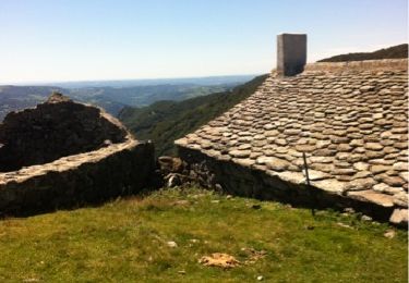
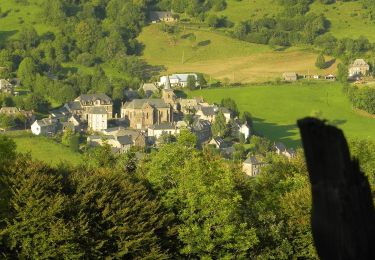
46 photos in total. Please click on a photo to see them all in the gallery.

Positioning

Country:
France
Region :
Auvergne-Rhône-Alpes
Department/Province :
Cantal
Municipality :
Le Falgoux
Location:
Unknown
Start:(UTM)
471619 ; 4999370 (31T) N.

Comments

Please log in to post a review or rate the element


très belle randonnée. depuis Luchard des vues à couper le souffle


Trails nearby

Trail Other activity Saint-Paul-de-Salers - 15.08.2013 - Photo
Other activity
robertserre

Other activity

Easy
(1)
Saint-Paul-de-Salers, Auvergne-Rhône-Alpes, Cantal, France
33 km | 54 km-effort
6h 13min
No
Trail On foot Le Falgoux - Le Roc du Merle - Photo
On foot
PRO

On foot

Easy
Le Falgoux, Auvergne-Rhône-Alpes, Cantal, France
8.3 km | 14.5 km-effort
3h 18min
No
Trail On foot Le Falgoux - Sentier de la cascade du Biaguin - Photo
On foot
PRO

On foot

Easy
Le Falgoux, Auvergne-Rhône-Alpes, Cantal, France
3.8 km | 5.5 km-effort
1h 14min
Yes
Trail On foot Le Falgoux - La Baladie - Photo
On foot
PRO

On foot

Easy
Le Falgoux, Auvergne-Rhône-Alpes, Cantal, France
10.9 km | 18.5 km-effort
4h 11min
Yes
Trail On foot Le Falgoux - Le Mars - Photo
On foot
PRO

On foot

Easy
Le Falgoux, Auvergne-Rhône-Alpes, Cantal, France
9.9 km | 16.1 km-effort
3h 39min
Yes
Trail On foot Le Falgoux - Sur la route des transhumances étape 2 - Photo
On foot
PRO

On foot

Difficult
Le Falgoux, Auvergne-Rhône-Alpes, Cantal, France
18.3 km | 31 km-effort
7h 4min
No
Trail On foot Le Falgoux - Sentier du Bar - Photo
On foot
PRO

On foot

Easy
Le Falgoux, Auvergne-Rhône-Alpes, Cantal, France
4.7 km | 8 km-effort
1h 49min
Yes
Trail Walking Saint-Paul-de-Salers - 11.08.2013 - Photo
Walking
robertserre

Walking

Easy
(1)
Saint-Paul-de-Salers, Auvergne-Rhône-Alpes, Cantal, France
10.6 km | 15.6 km-effort
3h 7min
No
Trail Walking Le Falgoux - le falgoux - Photo
Walking
robertserre

Walking

Easy
(1)
Le Falgoux, Auvergne-Rhône-Alpes, Cantal, France
7.8 km | 10.4 km-effort
2h 22min
Yes


Close
My subscriptions